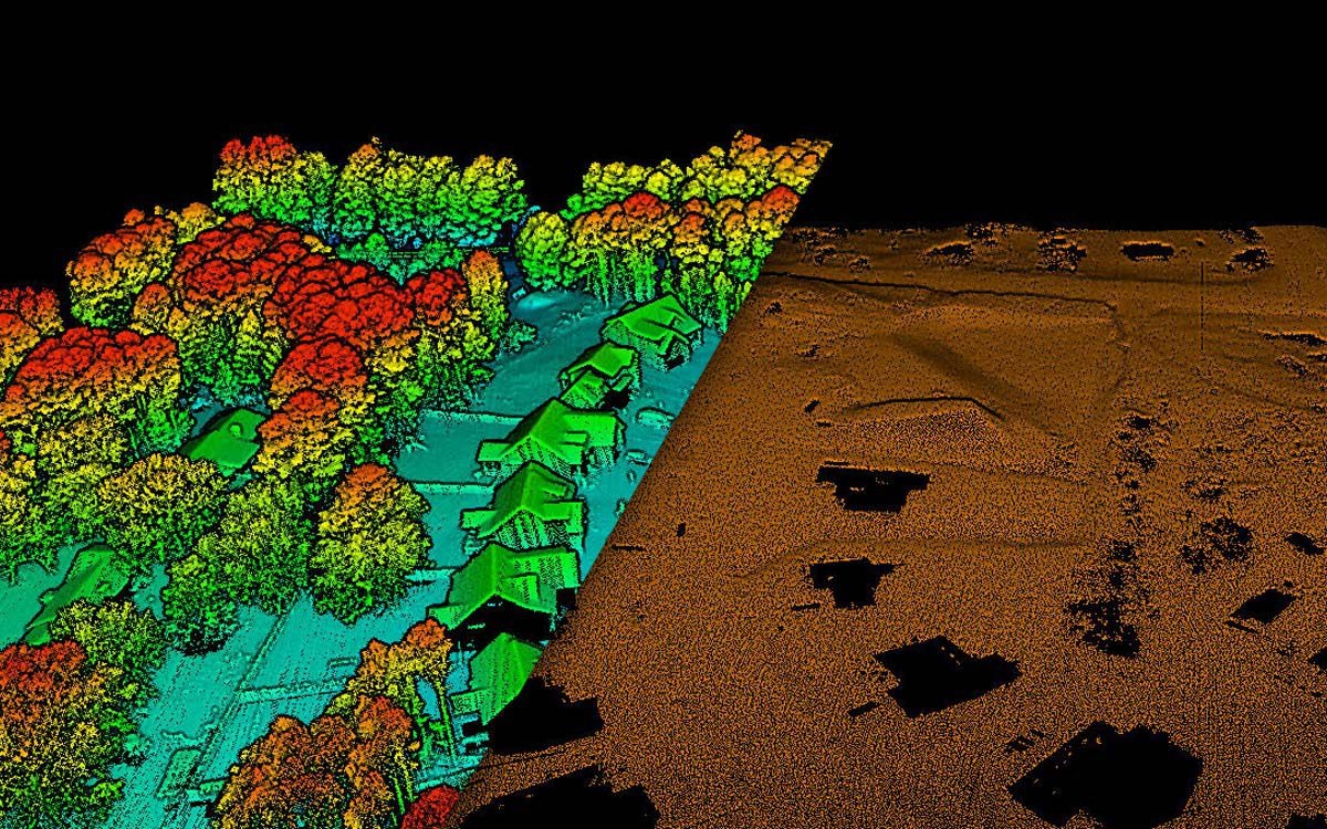
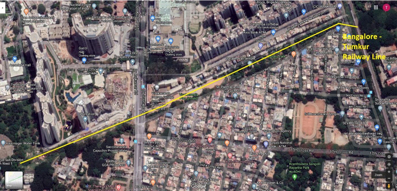
GIS Applications in Civil Engineering
Geographic Information System GIS technology is now widely used in many different industries with significant applications in civil engineering and the spatial viewpoint provided by GIS improves the planning, design, building and maintenance of civil